19 November 2024
Shrine filled mountain
Mount Oyama from Isehara station
I have done this hike before, in 2015, when I did a hilarious rant about how Japanese girls have 2 different voices, one for when they are with their boyfriends, and another for when they are only with other females. An early attempt at getting cancelled before that was a thing.
Also on that day, I was recovering from a terrible cold which I flew to Japan with. This was pre covid days. I thought I might die on the flight over and am ABSOLUTELY PARANOID about it ever since. There are numerous people you can ask who can attest to this.
And ALSO on that day, my camera failed. The memory card somehow came loose in the slot, so I do not have as many pics as I should from my 2015 ascent of this small mountain.
So today I shall make amends, and post a huge number of pics, too many. But before that, even though it was a short hike, I will post the stats.
18,800 steps - did not even break the 20k
9.16km - did not even break 10km!
1,209 calories - it was steep
3 hours 54 minutes - not even 4 hours
961m vertical ascent - like I said, it was steep
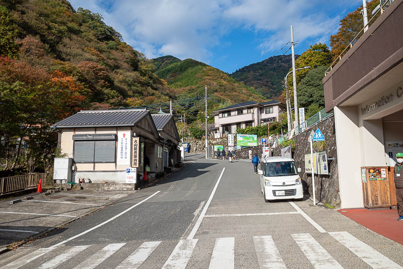
I took so many photos I did not bother with photos of Isehara station. You catch the Odakyu line rapid express from Shinjuku, it takes about an hour, and then get onto a very crowded bus. I thought I was not going to get on, and it is a Tuesday! On the weekends it must be murder. Here is the site that will greet you when you get off the bus.
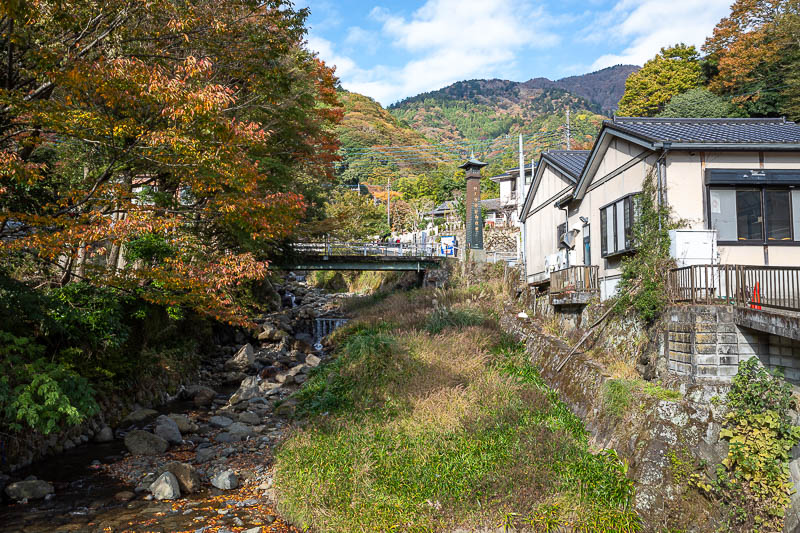
I will go up in that direction. Blue skies today.
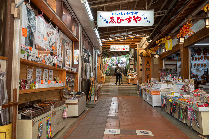
The walk up to the funicular railway which they still call a cable car even though it isn't hanging from a cable, already involves many steps, and goes through these quasi shopping areas. The many steps would make this impossible for the frail and elderly which kind of defeats the purpose of what I will call the ropeway as they also use that term too. There is no actual convenience store, but there are a lot of vending machines, but NONE of them have a bottle bin. I usually drink a full bottle in one gulp (in addition to the two I carry) last thing before starting a hike and throw it away, not today - but that was ok because it was a short hike.
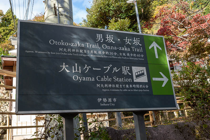
GO STRAIGHT AHEAD. Do not be lazy.
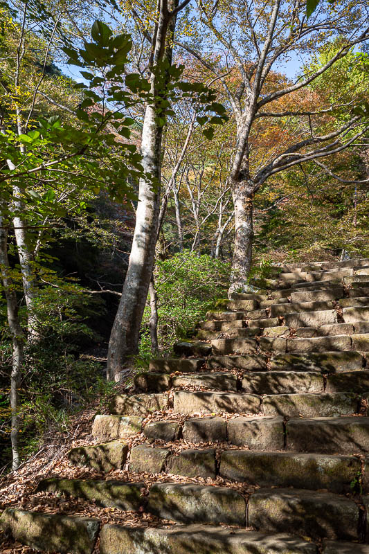
The path up to where the cable car goes is full of shrines, and is mostly a staircase like this. The cable car only goes half way up the mountain as you shall soon see.
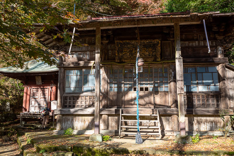
First of many shrines. Somewhat abandoned.
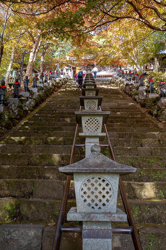
Stairs to main shrine. If you take the ropeway funicular cable railway you do not even need to do these stairs.
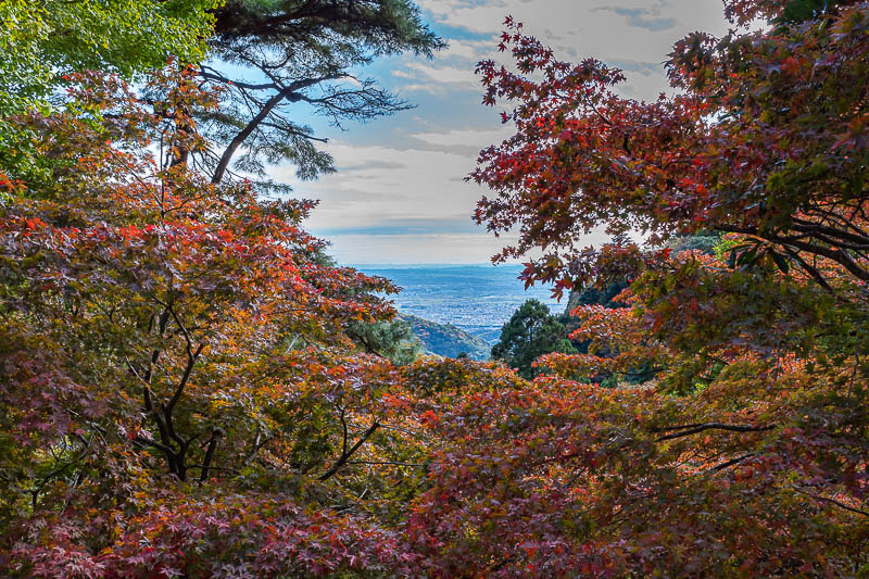
A view. Not a good photo, too much contrast.
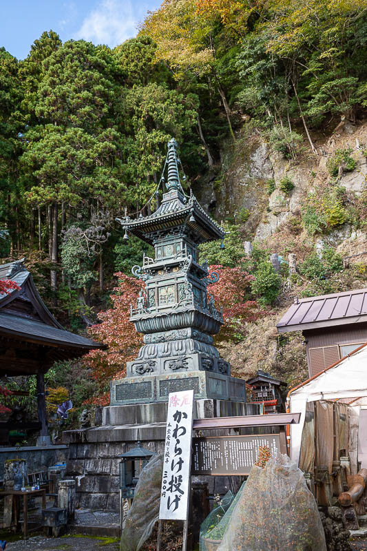
We are getting to the main shrine, quality of fittings has improved.
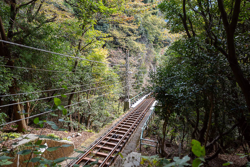
Proof I did not go on that thing. It goes every 20 minutes. At this section it goes through a tunnel.
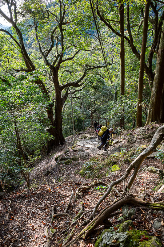
Very steep and a huge number of other hikers, even though it was Tuesday. Top tip - do not go here on a weekend.
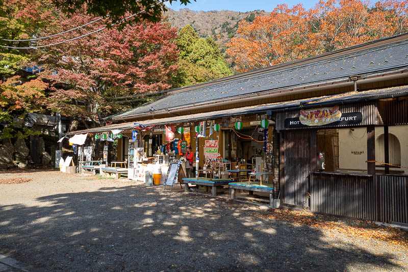
Just below the main shrine is a series of ice cream shops for the cable car goers.
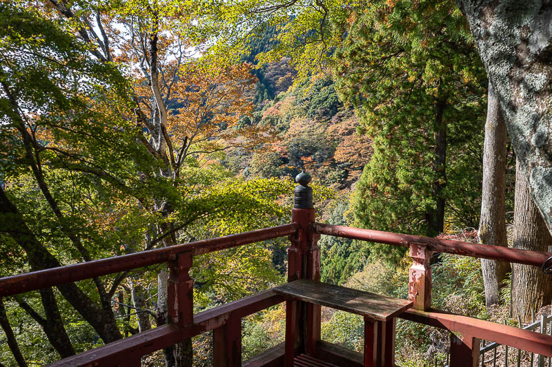
A bit of colour today, but I looked at my last visit which was much more colourful, despite being on 7 November.
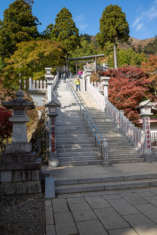
High quality stairs.
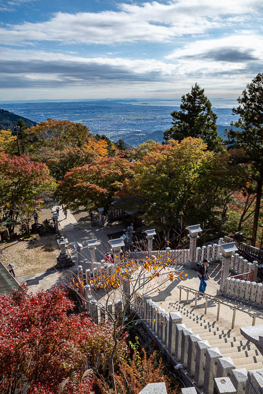
The view out onto the ocean is towards Enoshima, I think.
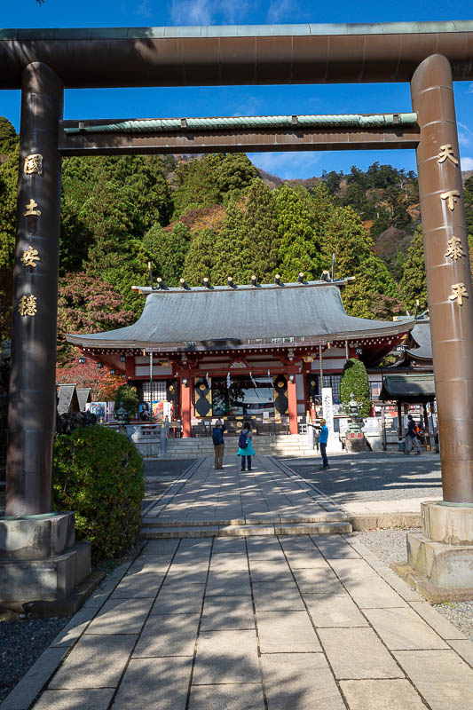
There it is! Let's go through the gate.
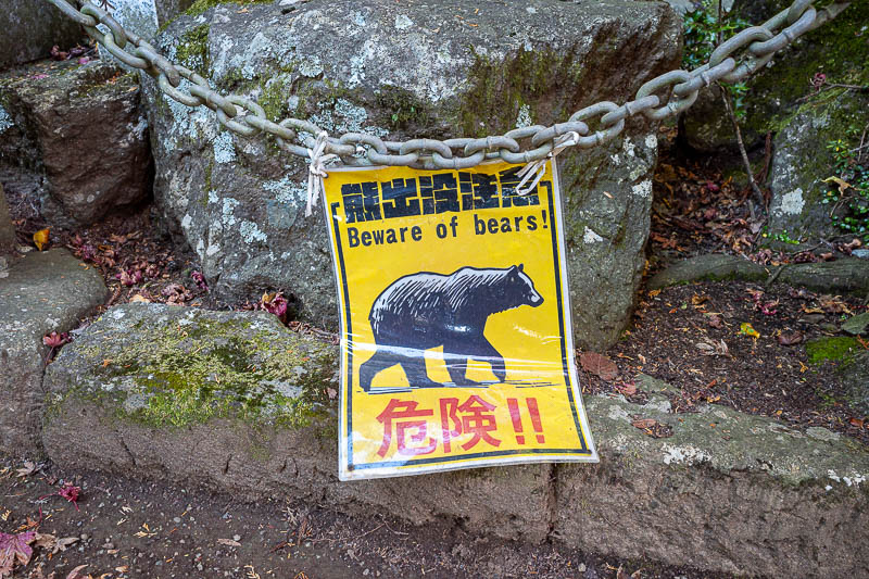
Any bear dumb enough to turn up here is basically on a suicide mission, and will be shot by park rangers and become bear curry (yes they really have that and they really do shoot bears that are in tourist areas).
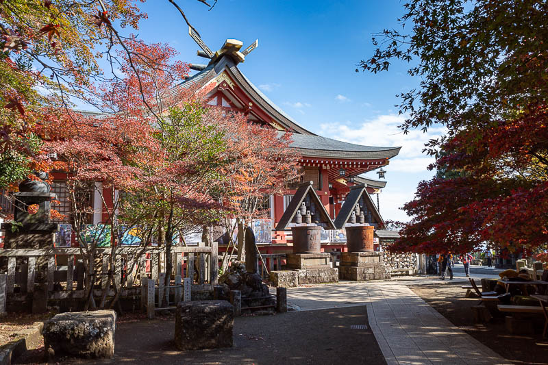
"The shot" for today.
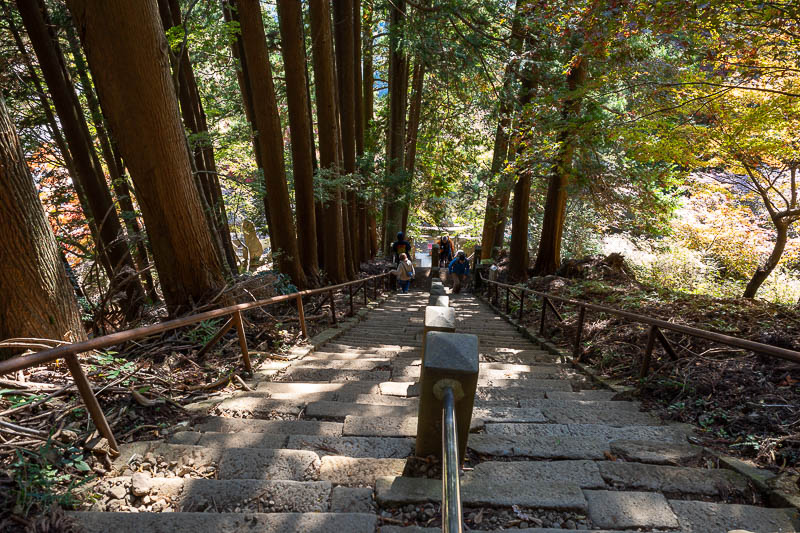
The real hike begins just behind the main shrine, after you ascend this ridiculously steep staircase (I am at the top looking down). You will see it again later with a rescue team!
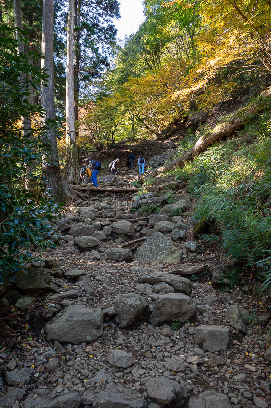
The stairs become rocks mostly after the shrine. But a lot of the time the rocks are arranged nicely.
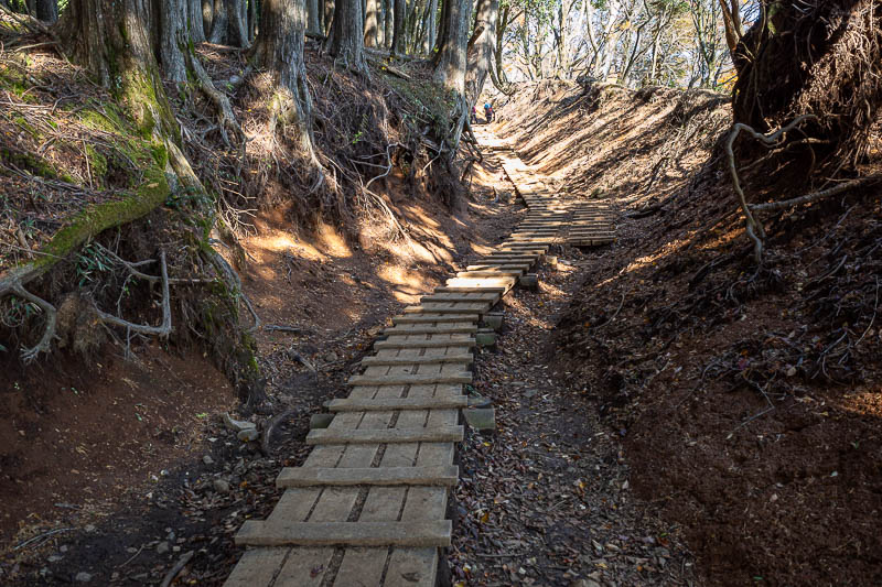
Memories of Mount Tanzawa from a couple of days ago.
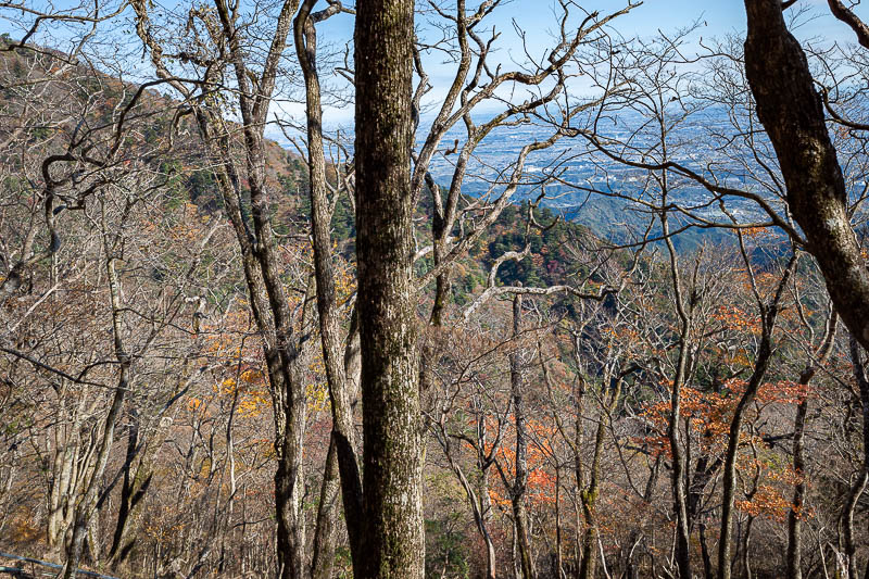
Hmm, am I too early or too late for peak colour? I think the season is very confused.
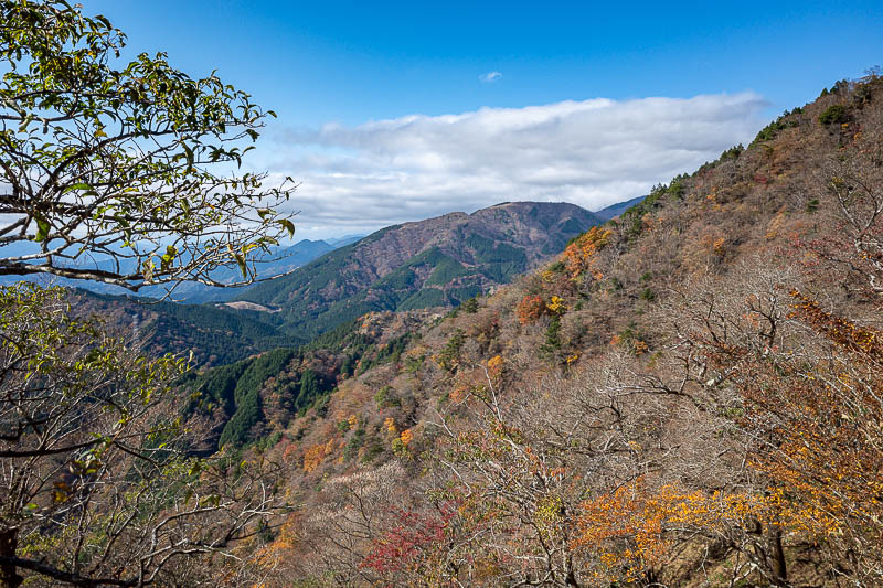
We will see some more mountains in that direction soon.
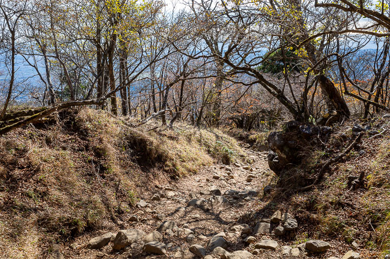
I love looking into the sun at moss covered rocks.
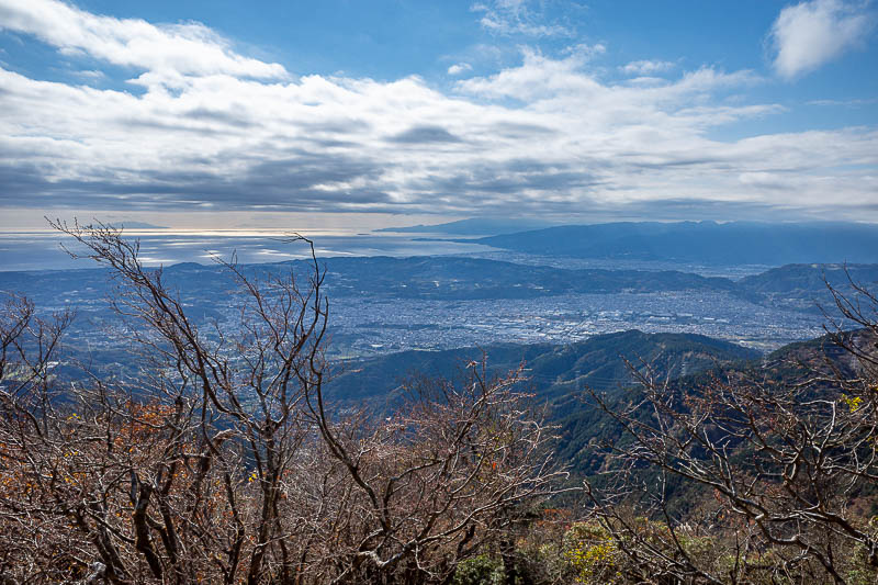
The coastline. A bit cloudy, so no Fuji view. I have not seen Fuji even once on this trip which is unusual.
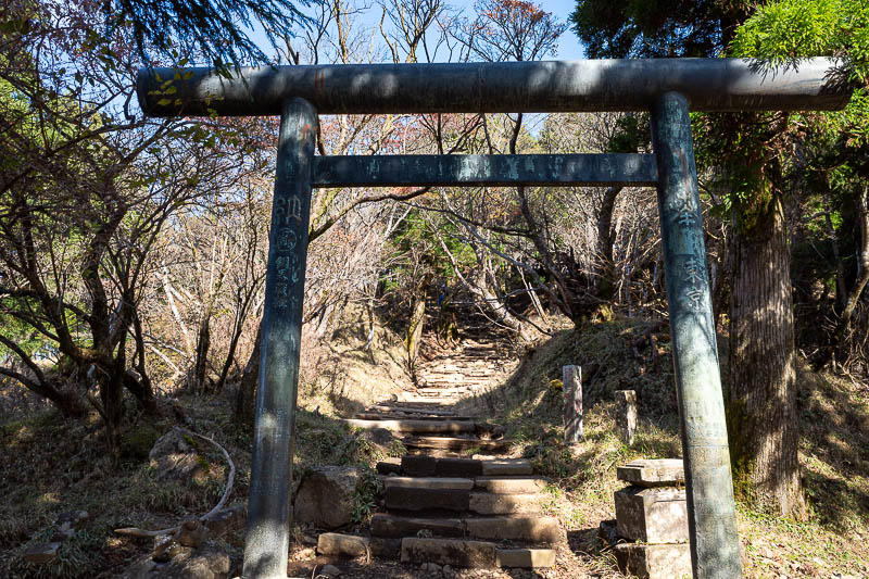
About to enter the summit shrine area.
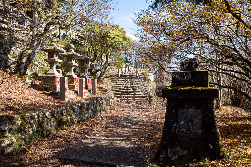
There is no cable car to take people to the summit, but there is a little goods train rail thing, I think on weekends they have a little shop.
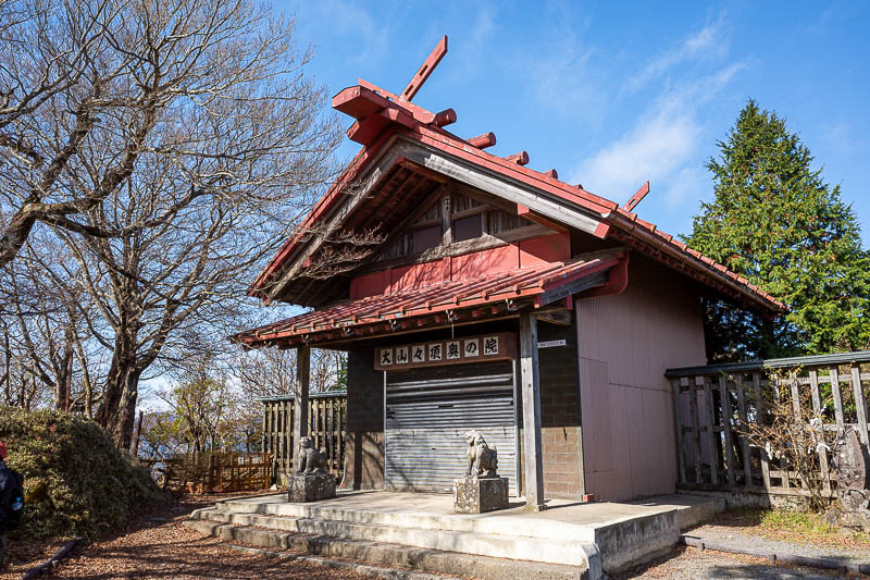
Possibly a shop, possibly a shrine, they all have garage doors! People were bowing at them anyway but they looked a bit confused at times.
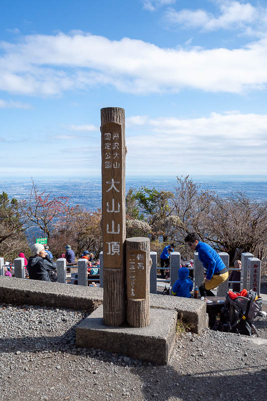
Summit marker, a lot of people on the large developed summit area.
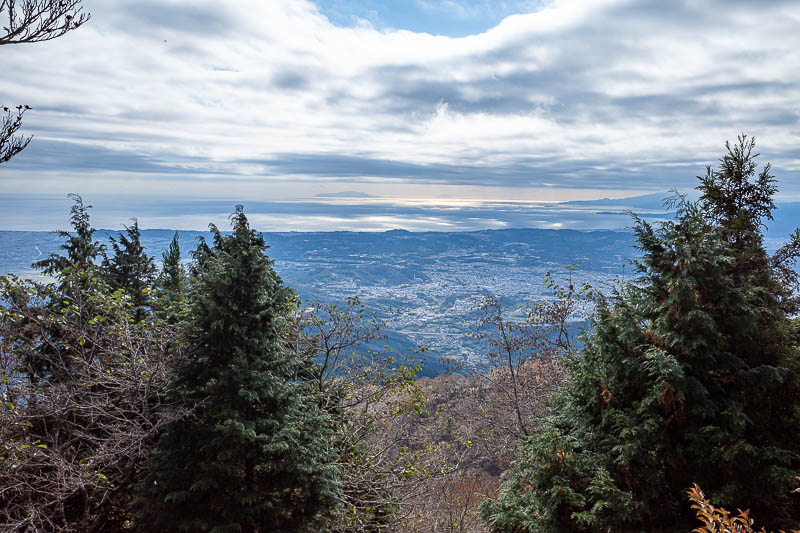
View from the top... cut those trees down!
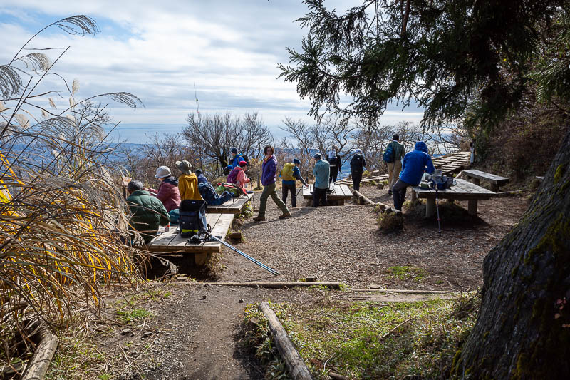
There is even a public toilet on the summit. I went over near it to take this photo.
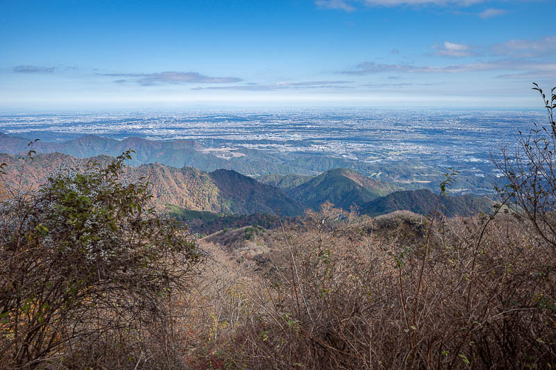
Looking back towards Tokyo, or maybe it is Yokohama. It is all city.
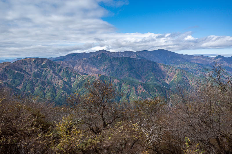
Across there is Mount Tanzawa, where I was in the fog a few days ago. No fog today.
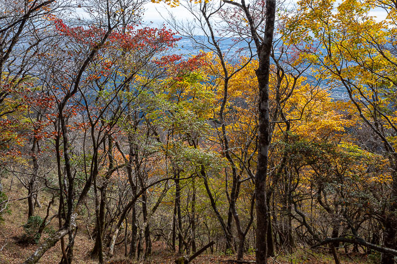
Time to descend and appreciate some leaf colours.
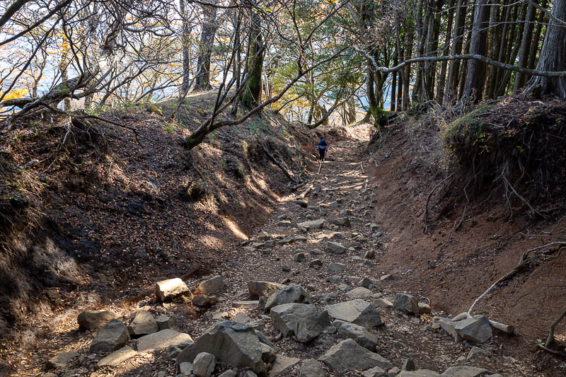
A rare flatter section of the trail.
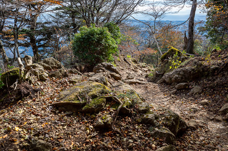
More mossiness. Yeah, mossiness is a word.
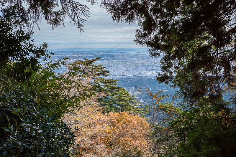
Last view shot.
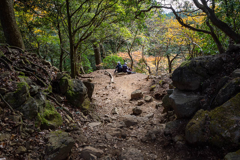
As you can see there are a few spots to sit for a rest along the way.
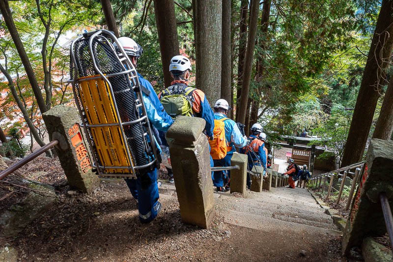
OK, then back at the stair case I came across 20 or so rescue rangers. They seemed to be having a great time. There really are about 20 of them, you cannot see them all because of how steep the stairs were. So I assumed they were on a training drill, but then I noticed they had an old lady on a stretcher with a bandage on her head and an ice bag on her bandage.
I still was not sure if it was a training drill or not, but when I got to the bottom (they took the cable car and it took just as long as it took me to walk), they were loading her into an ambulance. So if you fall and hit your head, 20 guys will come and attend to you.
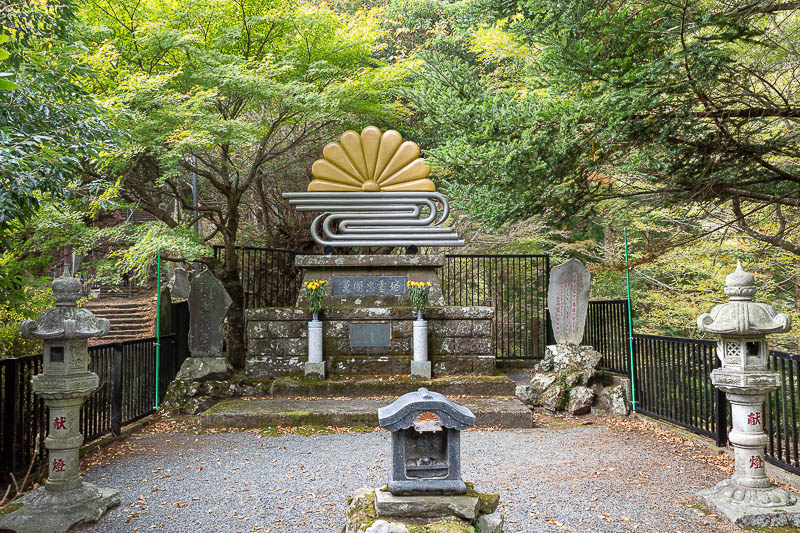
Below the shrine there is an alternative path that no one seems to take. It runs almost parallel to the main path and is barely any longer. If you go this way you can appreciate this grave, with pipes made to look like a paperclip and some sort of plastic embellishment.
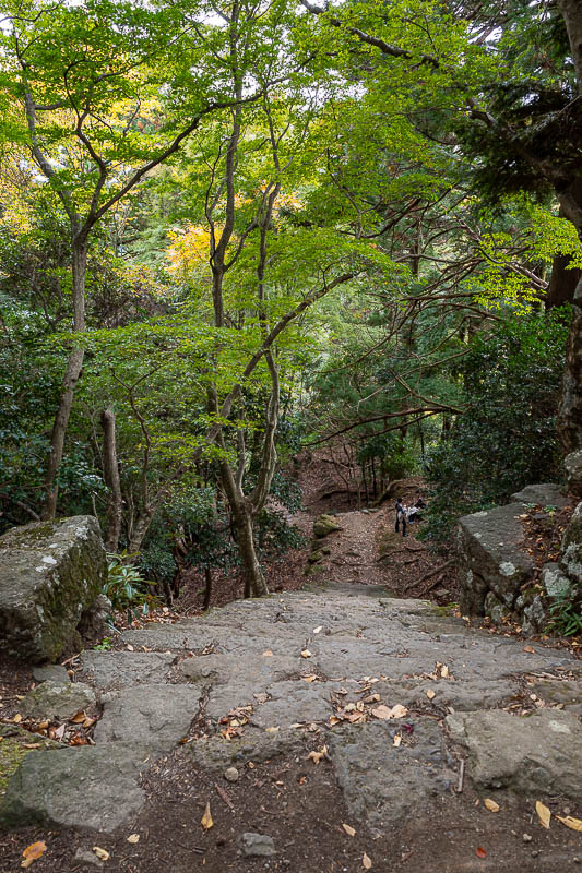
The path down on this trail was no less a staircase than the other path.
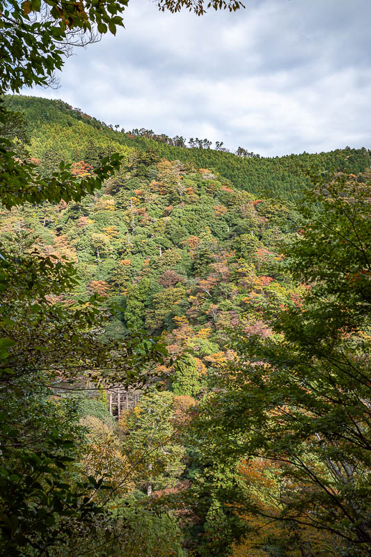
I stood here studying my map, because it seems there is a trail on that ridge. Maybe next time!
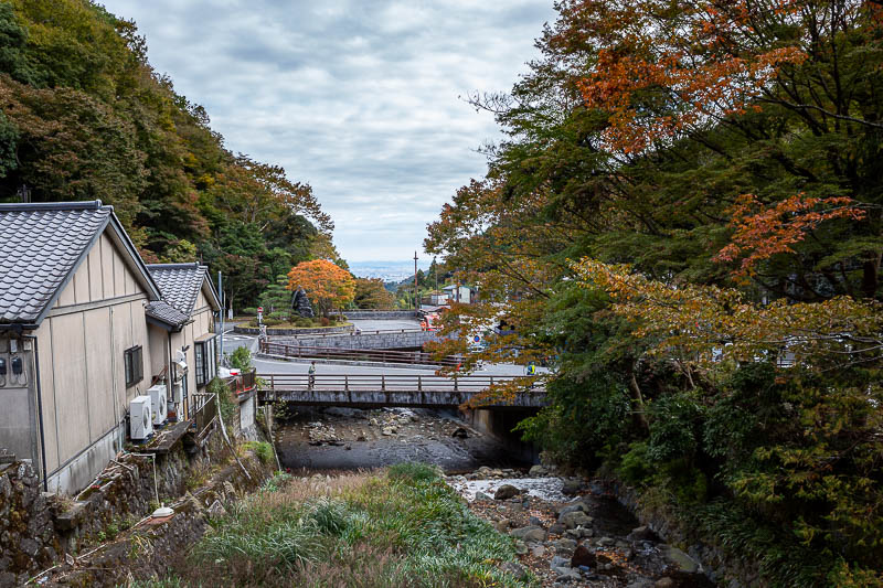
And after not even 4 hours, I was back at the bus, and I literally ran straight onto a waiting bus that departed seconds after I boarded.
Only one more hike to go! (insert sad face?)